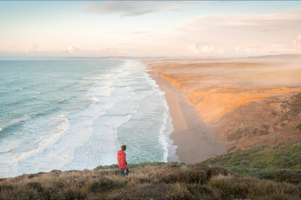

For more than 50 years, California has been working toward an ambitious goal: a public trail spanning the Pacific coastline from the Oregon border to Mexico.
The California Coastal Trail, or CCT, is a proposed route covering 1,230 miles of coast. It’s currently about 70% complete, with roughly 875 miles of connected sidewalks, blufftop paths, beach walks, bike routes, and, in a few places, road shoulders.
While the remaining gaps mean it’s not yet possible to follow one seamless path from end to end, you can already hike most of the trail in its current state.
Here’s a closer look…

A continuous trail from Oregon to Mexico
The idea for the CCT dates to the 1975 California Coastal Plan, which called for a continuous public route along the coast. But it wasn’t until Governor Gray Davis designated it California’s Millennium Legacy Trail in 1999 that state and federal governments were spurred to break ground.
Today, the California Coastal Commission, State Parks, Caltrans, local governments, and nonprofit partners continue the work. Their common goal is to provide public access along the entirety of the coast, foster appreciation and stewardship of the state’s natural environment, and encourage outdoor recreation.
Rather than a single narrow footpath, the CCT is a system of parallel routes designed for walkers, hikers, cyclists, wheelchair users, equestrians, and non-motorized visitors depending on the location. That could mean everything from a rugged footpath to a paved promenade.
Today, more than 50 years after the CCT was conceptualized, the route is still unfinished — and the remaining 30% may be the hardest part to build. Agencies must secure funding, negotiate access across private land, protect sensitive habitats, and find detours around barriers.

Hiking the CCT today
Much of the CCT is plenty usable, but it’s essential to research your route ahead of time in case of incomplete sections and terrain. Some sections in the north even require permits to traverse campgrounds, inland detours, or even timing with the tides.
Some of the most memorable segments pass through iconic California landscapes, including the Santa Monica Strand, Point Reyes, and San Francisco’s Land’s End and Presidio.
To start planning your trip, consider checking out the resources from CaliforniaCoastalTrail.org, a nonprofit with dedicated trail descriptions and guides by fellow hikers, as well as the California State Coastal Conservancy, the state’s official resource with an interactive map of the CCT.