
Are you looking for the perfect weekend escape in Southern California? Swap the coastal traffic for mountain majesty on the “Rim of the World Scenic Byway”. Stretching across 110 miles of breathtaking alpine terrain, this route earns its dramatic name by offering some of the most spectacular panoramic views in the state.
With unparalleled vistas of the San Bernardino Mountains and the Big Bear Lake, this spectacular route literally hugs the cliffsides to provide panoramic views of the valleys below. To help you plan the perfect road trip, here is a breakdown of the route, the best places to pull over, and essential tips for the journey.
How to drive the Rim of the World byway
The byway encompasses portions of three distinct state highways, each offering its own unique flavor of the alpine landscape:
- SR-138: Begins at the Mormon Rock Fire Station near Cajon Pass.
- SR-18: The core “Rim” section passing through Crestline, Lake Arrowhead, and Running Springs.
- SR-38: Continues from Big Bear Lake down through the San Gorgonio Pass to Mentone near Redlands.
Key stops along the drive
You will want to take your time and pull over frequently. Make sure to add these highly recommended stops to your itinerary:
- Mormon Rocks: Dramatic wind-eroded sandstone formations near the start of the drive.
- Silverwood Lake Overlook: Offers panoramic views of the sparkling lake right off Highway 138.
- Lake Arrowhead: A beautiful private alpine lake surrounded by a charming village with shops and dining.
- Heaps Peak Arboretum: A botanical garden featuring a short, family-friendly loop trail with diverse native trees.
- SkyPark at Santa’s Village: An outdoor adventure park in Skyforest featuring mountain biking, zip-lining, and seasonal activities.
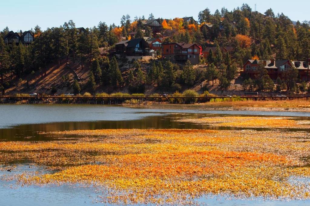
- Big Bear Lake: The drive’s peak destination, perfect for boating and hiking in the summer, or skiing and snowboarding in the winter.
Travel tips
Before you hit the road, keep these essential logistics and safety guidelines in mind:
- Permits: A National Forest Adventure Pass is required to park at most trailheads, overlooks, and picnic areas.
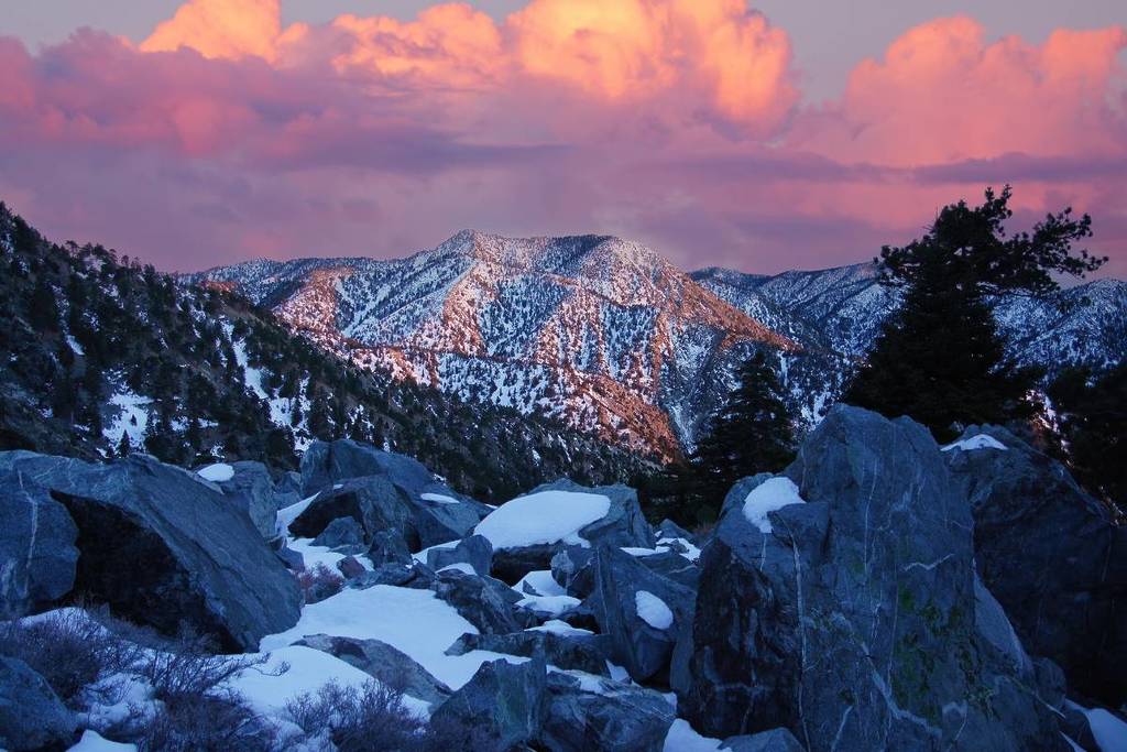
- Winter Driving: The route is open year-round, but snow is very common at this elevation. Tire chains are often mandatory during the winter months.
- Safety: The road is winding with steep drop-offs. Drive carefully and use the frequent turnouts to allow faster traffic to pass you safely.
- Best Time: Visit during the fall for vibrant autumn colors, or during the spring to see the mountain wildflowers in full bloom.